Veris
Supercharges digital construction workflows with Veesus software
About the Client
Veris is Australia’s largest geospatial consulting firm, employing over 500 people in 20 locations across Australia. It offers a wide range of geospatial services, including surveying, urban planning, metrology-grade scanning, and hydrographic surveying. In particular, Veris is the market leader in digital construction projects, using spatial data to create digital twins, point clouds, and BIM models for clients in the private and public sector.
Challenge
Existing point cloud manipulation tool discontinued
Entire digital construction workflow put at risk
Solution
Veesus Arena4D and Point Clouds for Rhino plug-in
Allows for easy manipulation and editing of point cloud data natively in Rhino
Result
Workflows that deliver high-quality projects while saving time
A strategic partner for increasing project efficiency at Veris
Testimonial

“It’s meant we can work so much more effectively. None of the other tools we use to work with point clouds compares.”
Client Work

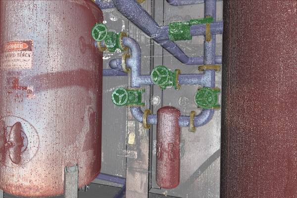
Using Point Clouds for Rhino, Veris created a highly detailed 3D model of this machinery with key elements such as joints and valves colourised. Here you can see the 3D image layered over the original point cloud.

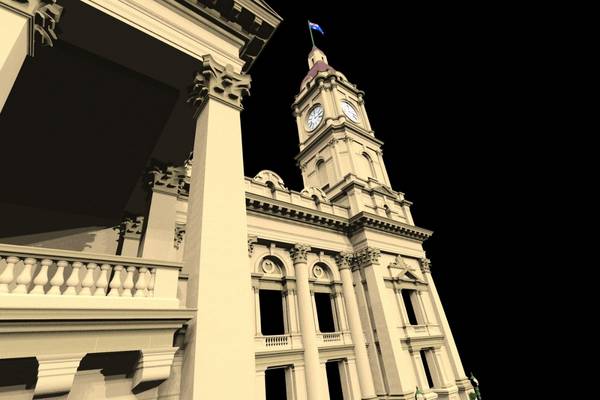
Advanced 3D model created in Rhino based on point cloud data. Veesus enables Veris to work on point clouds of any size natively in Rhino – meaning this building exterior can be managed with ease.

